

KS Wild Press Release Archive
Featured


The Wild Side
KS Wild Side articles written by KS Wild and Rogue Riverkeeper staff appear in the Ashland.news every three weeks.
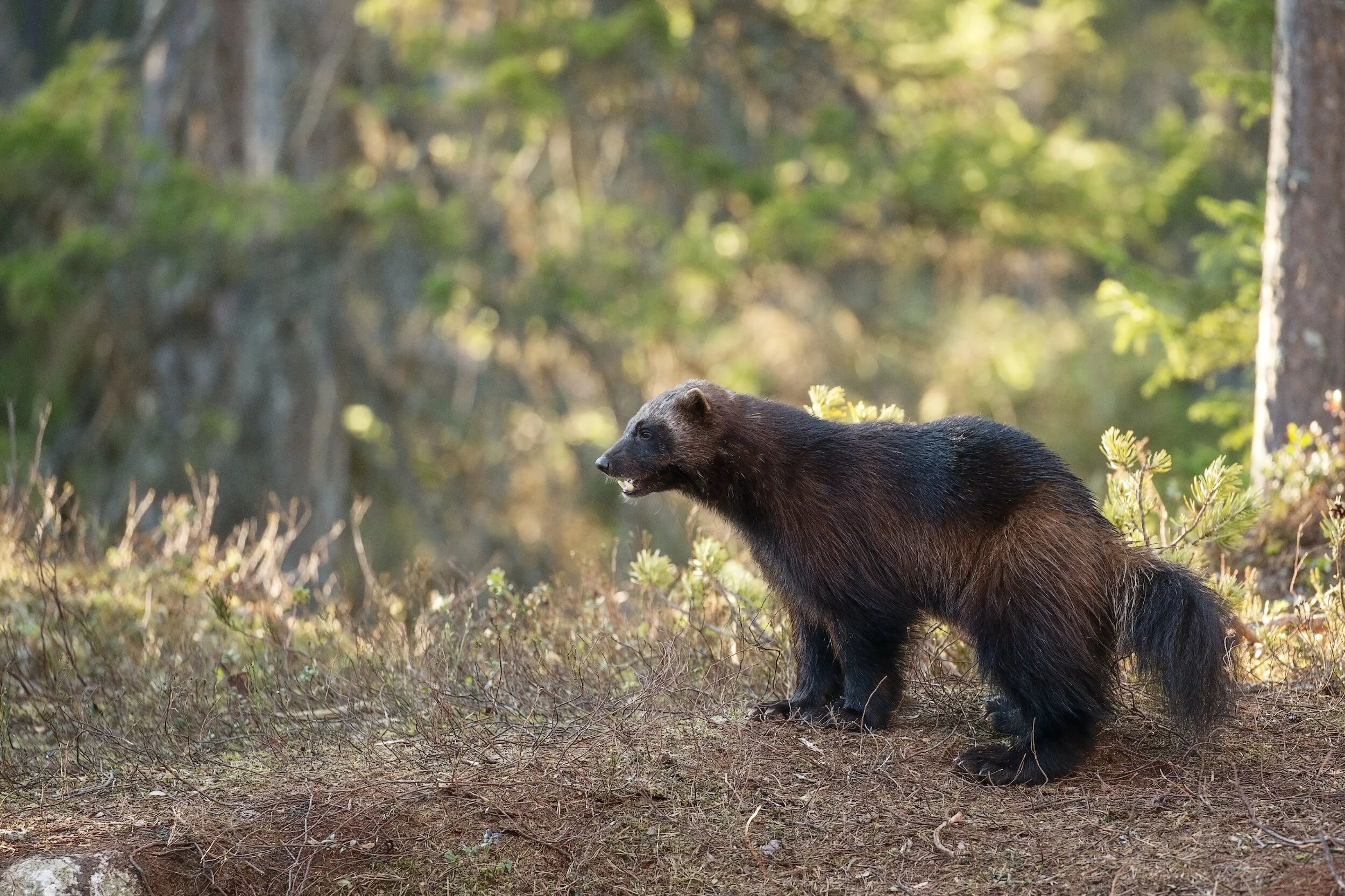
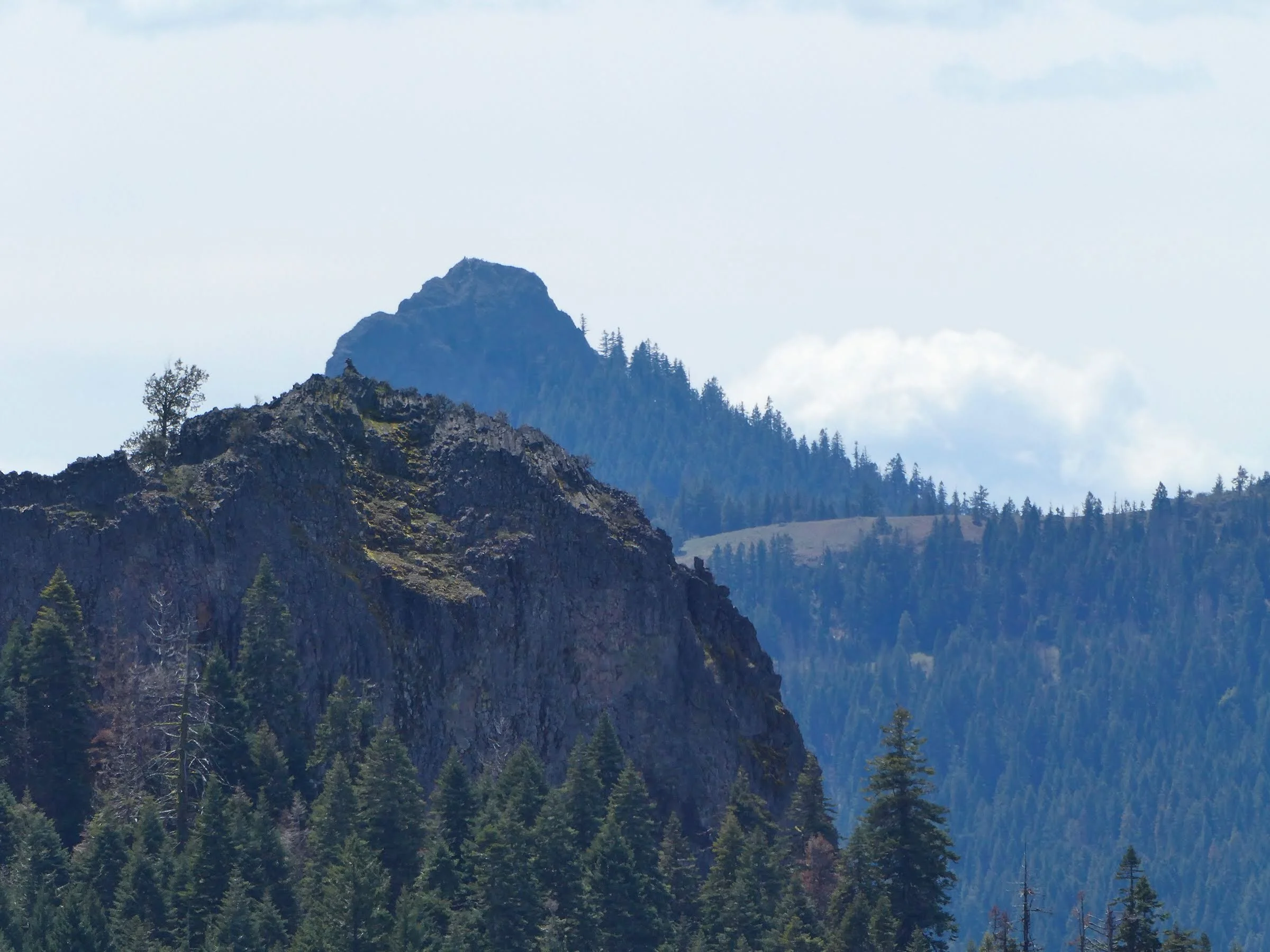
5 Vigilant Groups Defending Wildlife And Natural Resources In Oregon

Click the photo to watch the video.
The pride of Oregon is its natural beauty, and in order to protect the serene natural areas of the state, vigilance is required. KS Wild has been listed as one of these organizations that specializes in preserving the state's wildlife habitats and natural resources to make sure they're still around for future generations to enjoy. The video was made with Ezvid Wikimaker.
Press Articles by Topic
Featured